E15 Sites - Pays de Dreux (FR)
Economic zones - the productive countryside
Site Location St-Lubin-des-Joncherets, Brezolles, Tremblay-les-Villages
Project scale XL/S - territory / architecture + context
Site Family IMPLANTING - Prioductive uses
Post competion phase Urban study, master plan, urban project management with a developer common to the three sites
See the site page here
See here the map of the different sites
How Can the Site Contribute to the Productive City?
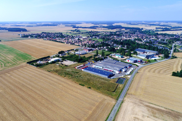
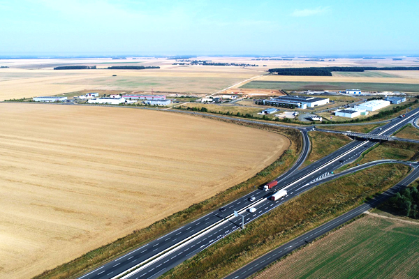
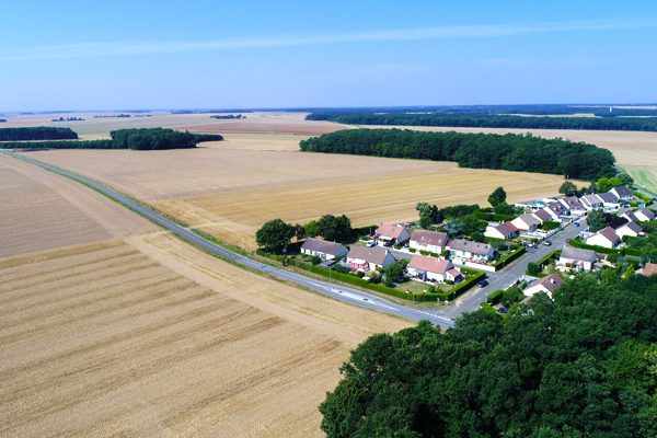
Located at the entrance of both Ile de France and Normandy, the Agglo du Pays de Dreux is an attractive territory (regular arrivals of households from Ile de France settling in smaller towns in the area). This territory is also marked by numerous important roadways ; such as the North/South Rouen/Orléans axis, the RN154 road, the East/West Paris/Rouen axis and the RN12 road. The local authority has proposed sites that are focused on the integration of economic activity zones into its peri-urban and rural territory (outside the urbanised core that includes the towns of Dreux and Vernouillet), in view of the future A154 motorway axis and development opportunities (economic development, evolution of the mobility and residential policies) that come with this state infrastructure project.